Map of Liverpool and its Environs - stock illustration
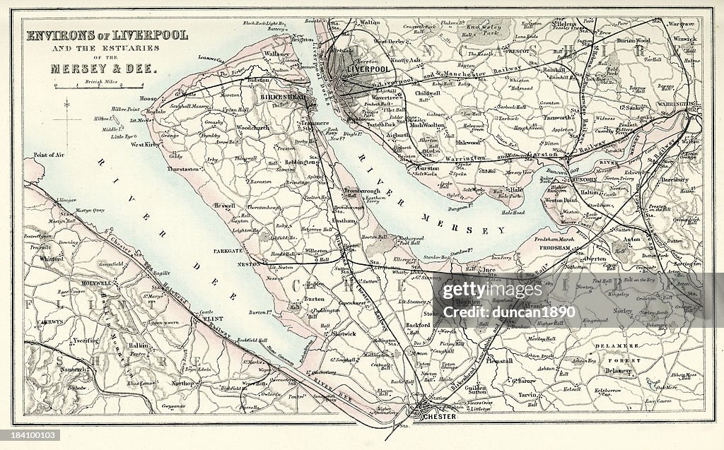
"Vintage map from 1880 of Liverpool and the surrounding area. By the start of the 19th century, 40% of the world's trade was passing through Liverpool."
Get this image in a variety of framing options at Photos.com.
PURCHASE A LICENSE
All Royalty-Free licenses include global use rights, comprehensive protection, simple pricing with volume discounts available
$375.00
USD
Getty ImagesMap Of Liverpool And Its Environs High-Res Vector Graphic Download premium, authentic Map of Liverpool and its Environs stock illustrations from Getty Images. Explore similar high-resolution stock illustrations in our expansive visual catalogue.Product #:184100103
Download premium, authentic Map of Liverpool and its Environs stock illustrations from Getty Images. Explore similar high-resolution stock illustrations in our expansive visual catalogue.Product #:184100103$375$50
Getty Images
In stockDETAILS
Credit:
Creative #:
184100103
License type:
Collection:
DigitalVision Vectors
Max file size:
5770 x 3590 px (19.23 x 11.97 in) - 300 dpi - 21 MB
Upload date:
Release info:
Model and property released
Categories:
- Map,
- Old,
- The Past,
- Dee River,
- Lancashire,
- Birkenhead,
- History,
- Cheshire - England,
- Chester - England,
- Old-fashioned,
- River Mersey - Liverpool,
- 1880-1889,
- 19th Century,
- 19th Century Style,
- Antique,
- Cartography,
- Coastal Feature,
- England,
- Estuary,
- Europe,
- Flintshire,
- Horizontal,
- Land,
- Land Feature,
- Liverpool - England,
- Manufactured Object,
- Merseyside,
- Natural Phenomenon,
- Navigational Equipment,
- No People,
- Northern Europe,
- Northwest England,
- Obsolete,
- Photography,
- River,
- Road Map,
- Styles,
- The Wirral,
- UK,
- Victorian Style,