Rhenish-Westphalia coals and industrial map - stock illustration
Rhenish-Westphalia coals and industrial map

Get this image in a variety of framing options at Photos.com.
PURCHASE A LICENSE
All Royalty-Free licenses include global use rights, comprehensive protection, simple pricing with volume discounts available
$375.00
USD
Getty ImagesRhenishwestphalia Coals And Industrial Map High-Res Vector Graphic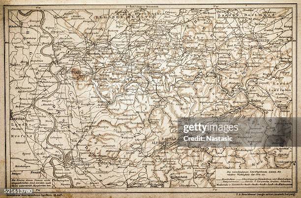 Download premium, authentic Rhenish-Westphalia coals and industrial map stock illustrations from Getty Images. Explore similar high-resolution stock illustrations in our expansive visual catalogue.Product #:521613780
Download premium, authentic Rhenish-Westphalia coals and industrial map stock illustrations from Getty Images. Explore similar high-resolution stock illustrations in our expansive visual catalogue.Product #:521613780$375$50
Getty Images
In stockDETAILS
Credit:
Creative #:
521613780
License type:
Collection:
DigitalVision Vectors
Max file size:
4501 x 2958 px (15.00 x 9.86 in) - 300 dpi - 12 MB
Upload date:
Release info:
Model and property released
Categories:
- Map,
- Hesse - Germany,
- Brandenburg Gate,
- Thuringia,
- Westphalia,
- Bavaria,
- Berlin,
- Bremen,
- Capital Cities,
- Cartographer,
- Cartography,
- City Gate,
- Europe,
- Geographical Border,
- Germany,
- Government,
- Hamburg - Germany,
- Holstein - Germany,
- Horizontal,
- Illustration,
- International Border,
- International Landmark,
- Land,
- Lower Saxony,
- Mecklenburg-Vorpommern,
- North Rhine Westphalia,
- Pfalz Castle,
- Politics,
- Politics and Government,
- Prussia,
- Residential District,
- Rheingau,
- Rhine River,
- Rhineland,
- Saarland,
- Saxony,
- Schleswig - Schleswig-Holstein,
- Territorial Animal,